
Chandigarh’s NAKSHA pilot has physically verified 4,500 of 7,000 properties in Sectors 2-17, moving the city toward cleaner digital land records.

Rajkot Collector's Office kicks off a detailed survey of 139 enemy properties left by migrants to Pakistan and China post-wars. This national initiative aims to assess and potentially auction these assets, boosting land supply and reshaping property rights in the city while sparking debates on utilization and market dynamics.

The Lucknow Development Authority (LDA) will survey land in Sharda Nagar for a new Economically Weaker Section (EWS) housing project, driven by overwhelming demand for the Sardar Vallabhbhai Patel scheme. This initiative targets unmet applicants with 3-4 hectares of land and strict eligibility checks to aid genuine low-income families in Lucknow.

HYDRAA's probe exposes Sri Aditya Kedia Realtors' illegal occupation of 2.34 acres Musi riverbed and 3.03 acres buffer zone in Manchirevula. Four 38-floor towers rise without proper stormwater drains, breaching Irrigation NOC terms amid flood risks and ownership disputes.

Puducherry partners with Survey of India to conduct a large-scale digital drone survey, assigning unique IDs to every land parcel using advanced aerial mapping technology. The initiative aims to modernize land records under the central government's Naksha scheme, enhancing transparency and property management through geospatial data.

The Telangana government provides online land records through the Dharani portal; however, a surge in data correction requests is raising concerns, prompting calls for updates.
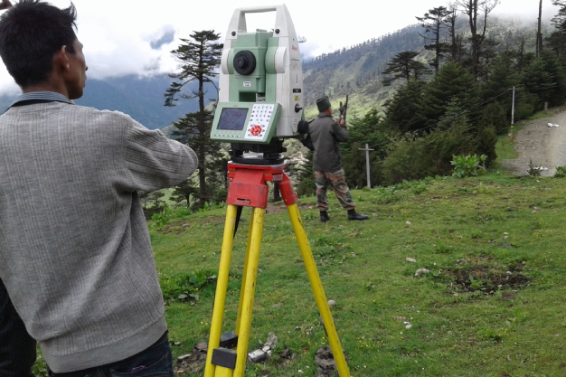
Farmers in Katihar to get land registration information with a click thanks to the ETS machine simplifying land measuring tasks.
Hyderabad district officials identify 66 acres of litigation-free government land worth crores. They plan to develop schools, hostels, and housing on this land.